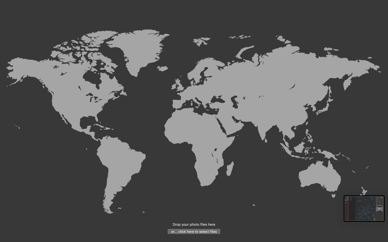


"Aquri GPS2Photo" helps you GEO Tag and manage location data in the Exif metadata of your Photos.
GEO Tagging is adding geographical data to your photos. This includes coordinates like latitude and longitude, and location details like city and country. "Aquri GPS2Photo" is focusing on adding GEO tags to your photos.
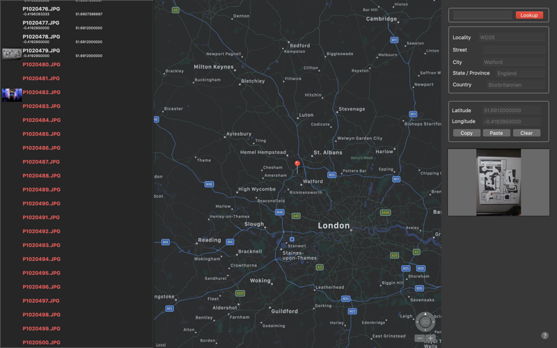
With "Aquri GPS2Photo", you can:
* Add coordinates to photos
* Perform reverse lookup
* Copy and paste location data from one photo to another
* Select a more accurate location on the map, than is in the EXIF data
* Add location data to a photo
* Search for a location, and find coordinates for that location
* Load GPX & NMEA GPS files, and match photos against the GPS file data
When saving your photo with the new location information, it will be stored in the photos metadata using the industry standards Exif.
"Aquri GPS2Photo" supports most image formats like JPG, PNG, and TIF. (RAW files are currently not supported)
PS: You have to use this application prior to importing your photos in Photos.